
1.Bara Bhangal: Crossing the Forgotten Shepherd Pass of Kullu Valley
Category: TREKKING • HIMACHALPRADESH
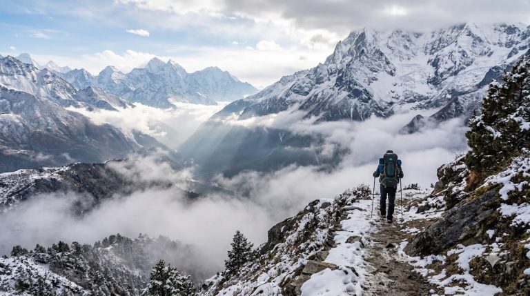
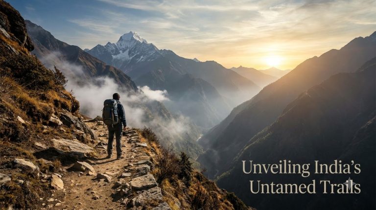
One of the most remote and independent villages in the Indian Himalayas, Bara Bhangal is nestled in a deep stadium carved by the Pir Panjal and Dhauladhar hills. This hidden valley is cut off from current motorable roads and can only be reached by climbing difficult high-altitude mountain routes that Gaddi shepherds have been using for decades.
It is more than just a walk to cross the 4,800-meter-high Thamsar Pass into Bara Bhangal; it is an adventure into a region characterised by rivers fed by glaciers, steep rock walls, and expansive alpine meadows.
🧭 Trail Snapshot
Distance: ~80 km | Duration: 8 to 10 Days
Route: Bir / Billing (Start) → Thamsar Pass → Bara Bhangal → Nayagram / Manali (Finish)
Best Season: June to July & September to October
🏔️ Expedition Highlights
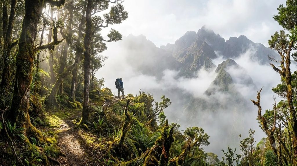
Dense Forest Trails: Beginning in Billing, stroll along the Uhl River beneath canopies of oak and rhododendron.
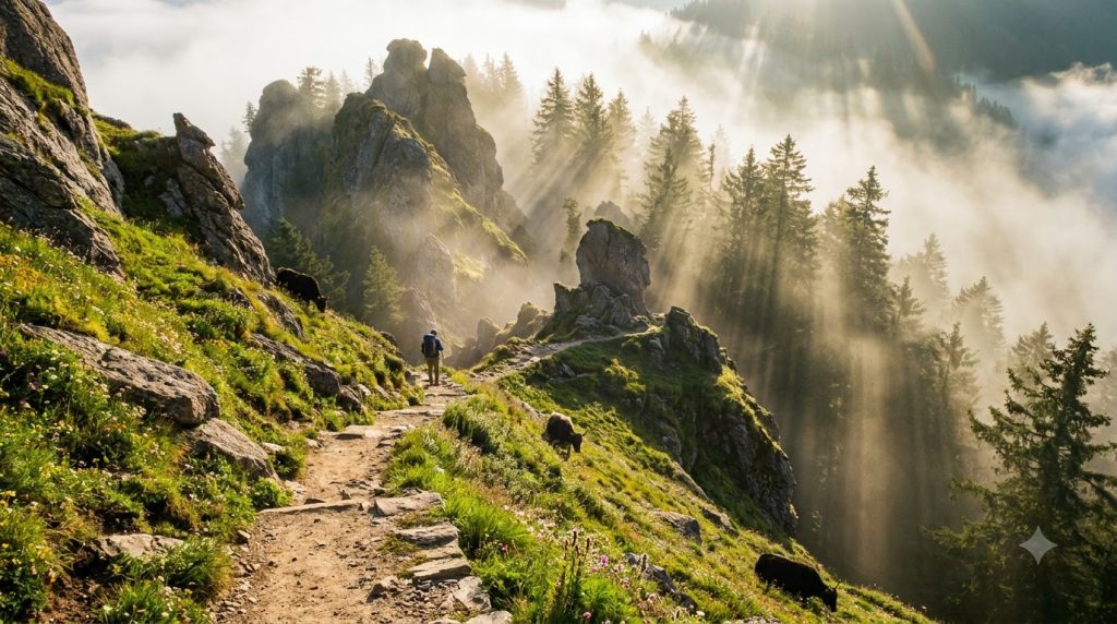
At 4,800 meters, Thamsar Pass: offers breathtaking views of the Kangra and Kullu valleys as you climb steep glacier peaks and snow patches.
The Hidden Village: Enter Bara Bhangal, an unspoiled valley settlement that depends on customary farming and herding.
🎒 Essential Checklist
Equipment: durable high-ankle boots, a -5°C sleeping bag, and a four-season tent.
Safety measures include altitude medication (Diamox), water purification pills, and offline GPS maps.
Hiking with a native Gaddi guide is always recommended because high-pass pathways are often changed by snow and rockfalls.
2.Beyond Dayara Bugyal: Exploring the Quiet Wilderness of Surya Top
Category: OFFBEAT ESCAPES • UTTARAKHAND
Few hikers travel higher up the hill to reach Surya Top, despite Dayara Bugyal’s wide velvet slopes drawing consistent hiking numbers every season. This remote ridge, at about 4,000 meters, provides unbroken, up-close views of Black Peak, Bandarpoonch, and the Gangotri peak group.
🌿 Quick Trail Facts
Distance: ~30 km round trip | Duration: 4 Days
Base Camp: Barsu or Raithal village (Uttarkashi)
Best Season: April to June & September to November
🌲 Trail Highlights
1. Canopy Treks in Historic Oak Woods
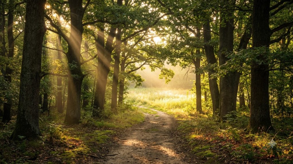
The walk starts in old forests of rhododendron and silver oak. The pathway is framed by red berry blossoms in the spring and covered in lush golden leaves in the autumn.
2. Covert Campsites Outside of the Crowd
Proceed in the direction of Siyari or Gui rather than setting up tents at the crowded main bugyal site. Direct vistas of snow-capped peaks under the gloomy, dark sky can be seen from these secret clearings.
3. The Last Climb of the Ridge to Surya Top
You may reach a high vantage point with a view of the entire Garhwal area by climbing the last ridge. The huge wall of the Gangotri mountain is illuminated in vivid gold and orange by the sunrise view from Surya Top.
🎒 Trail Advice for Eco-Travelers
Water Sources: Carry a minimum of two litres of water and a filter, as stream possibilities limit beyond Dayara Meadow.
Leave No Trace: Use eco-friendly soaps close to mountain streams and dispose of any plastic waste.
Local Homestays: To directly assist the local village economy, stay in traditional wooden homestays in Barsu or Raithal.
3.Living at 14,000 Feet: A Week in Ladakh’s Remote Changthang Villages
Category: CULTURAL TRAILS • LADAKH
Changthang is a huge, wind-torn wilderness of salt lakes, snow-capped hills, and endless grasslands that extends over the high-altitude plateau of Eastern Ladakh. Yak herding, periodic migrations, and the trade in beautiful Pashmina wool all contribute to the historic rhythm of life here, which is home to the nomadic Changpa people.
 Cultural Highlights & Life on the Plateau
1. Hanle and Korzok’s traditional stone homestays
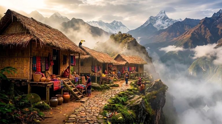
High-mountain resilience may be seen by staying with local families in remote areas like Hanle or Chushul. Imagine warm cooking stoves, countless mugs of hot butter tea (Gur Gur Chai), and architecture made of mud brick and stone that is meant to retain sun heat.
2. The Nomadic Changpas’ way of life
Visit the Changpa pastoralists’ makeshift woven yak-hair tents (called Rebo) by travelling outside the village boundaries. Seeing how they handle their animals on a daily basis and learning about the environmentally friendly harvesting of Changthangi knitwear reveals a way of life that is well prepared for the challenges of the environment.
3. Stargazing at the Dark Sky Reserve at High Altitude
The first Dark Sky Reserve in India is situated at Hanle. Unbelievable vistas of the Milky Way galaxy stretching over the horizon may be seen from the plateau’s clean nite sky, which are situated far from industrial smog and urban light pollution.
4.The Living Root Bridges of Mawlynnong & Nongriat (Meghalaya)
Category: RAINFOREST TRAILS • MEGHALAYA
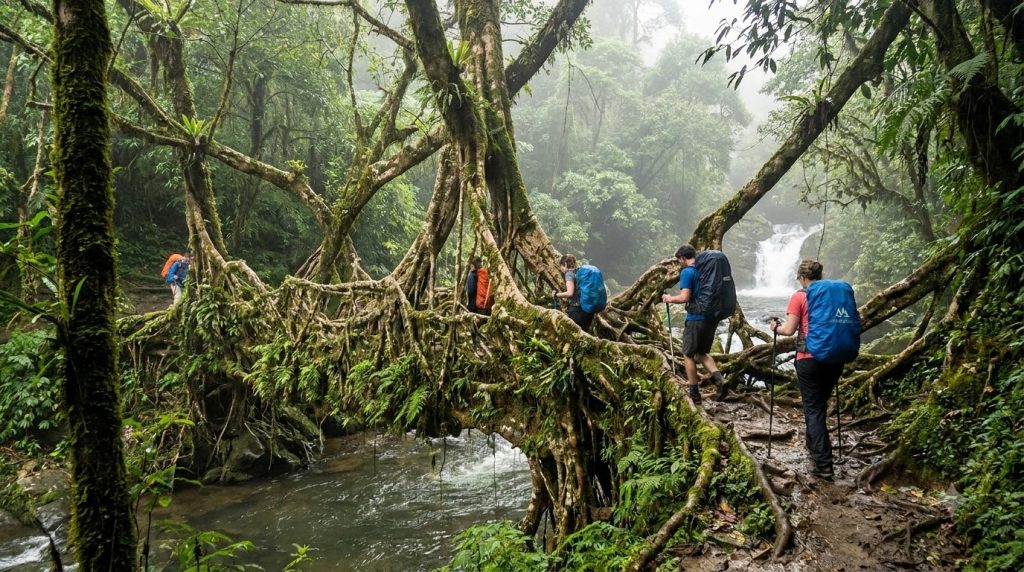
Nature and local engineering combine to create living art in the East Khasi Hills’ rain-soaked valleys. Generations of Khasi people have trained the aerial roots of Ficus elastica trees across raging mountain rivers, producing self-strengthening botanical constructions that last for centuries, instead of constructing wooden or metal bridges that collapse in unrelenting monsoon rain.
🌿 Trail Overview & Fast Facts
Total Steps: ~3,000–3,500 stone steps down to Nongriat (and back up)
Starting Point: Tyrna Village (near Sohra / Cherrapunji)
Key Stops: Riwai Root Bridge (Mawlynnong), Jingkieng Nongriat (Double-Decker Bridge), Rainbow Falls
Best Season: October to April (for clear trails and turquoise pools)
The🥾 Expedition Highlights
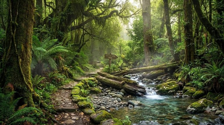
Canopy Descent: Climb more than 3,000 mossy stone stairs over swinging bamboo suspension bridges and deep vegetation.
Cross the multi-century-old Jingkieng Nongriat: a naturally formed two-tiered botanical marvel that spans thundering mountain streams at the Double-Decker Root Bridge.
Rainbow Falls: Trek 1.5 hours past Nongriat to a remote turquoise lagoon where sunshine always produces afternoon rainbows in the mist.
🌿 Trail Advice for Conscious Pathfinders
Equipment: To reduce knee pain on the challenging 3,000-step return climb, use trekking poles and high-traction shoes.
Pack Light: Just carry a sleeping day bag to Nongriat; leave heavy luggage at Sohra.
Local Impact: Pay tiny village fees, which directly fund village homestays and eco-friendly lodging.